ONGOING PROJECT
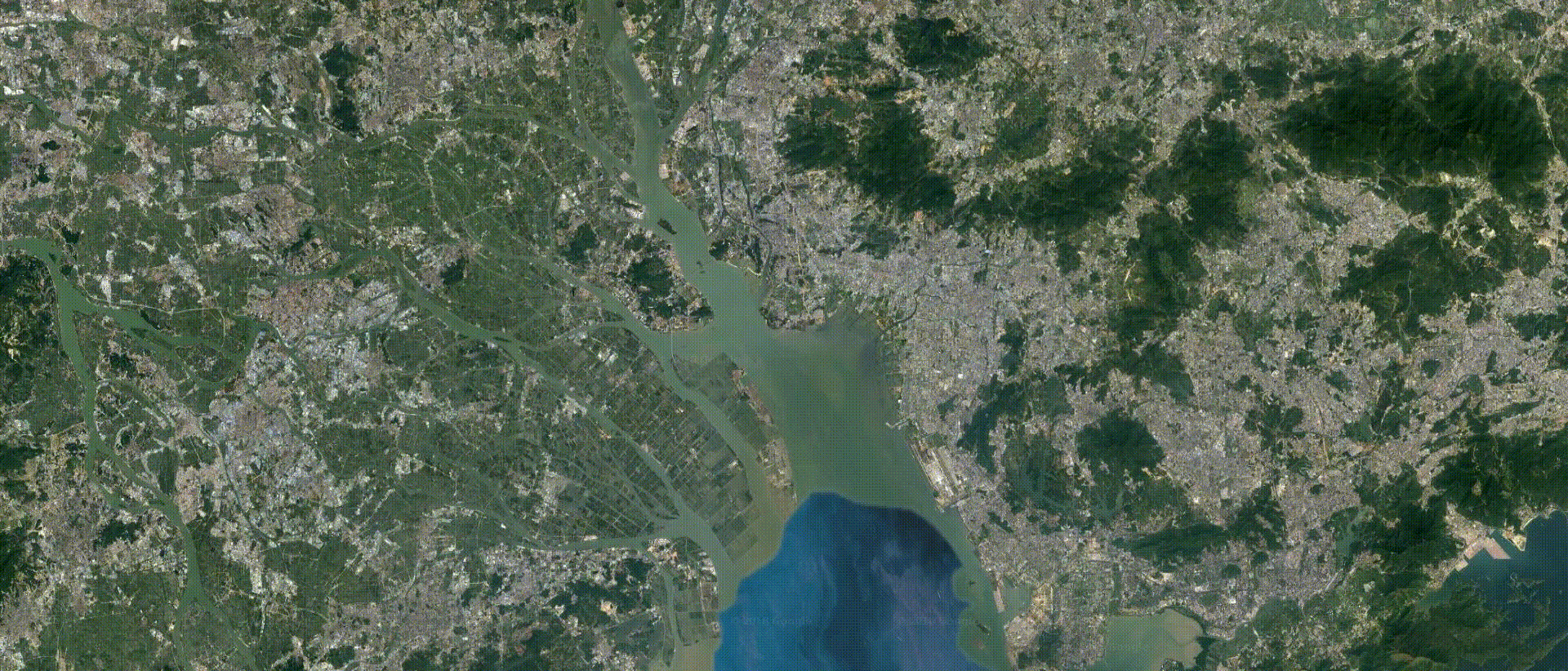
------------ DATA-POOR REGION MAPPING: A CASE STUDY IN PEARL RIVER DELTA, CHINA ------------ GIS data in Pearl River Delta is incomplete, inaccessible, or out-dated, which sets up obstacles on sustainable urban planning and design. I am working in Google Earth Engine using a large collection of satellite images collected from 1984 to 2018 to generate datasets of physical elements such as topography, water and vegetation. Also, I am doing web scraping in Python to obtain latest cultural data such as land use and road networks via Open Street Map API.